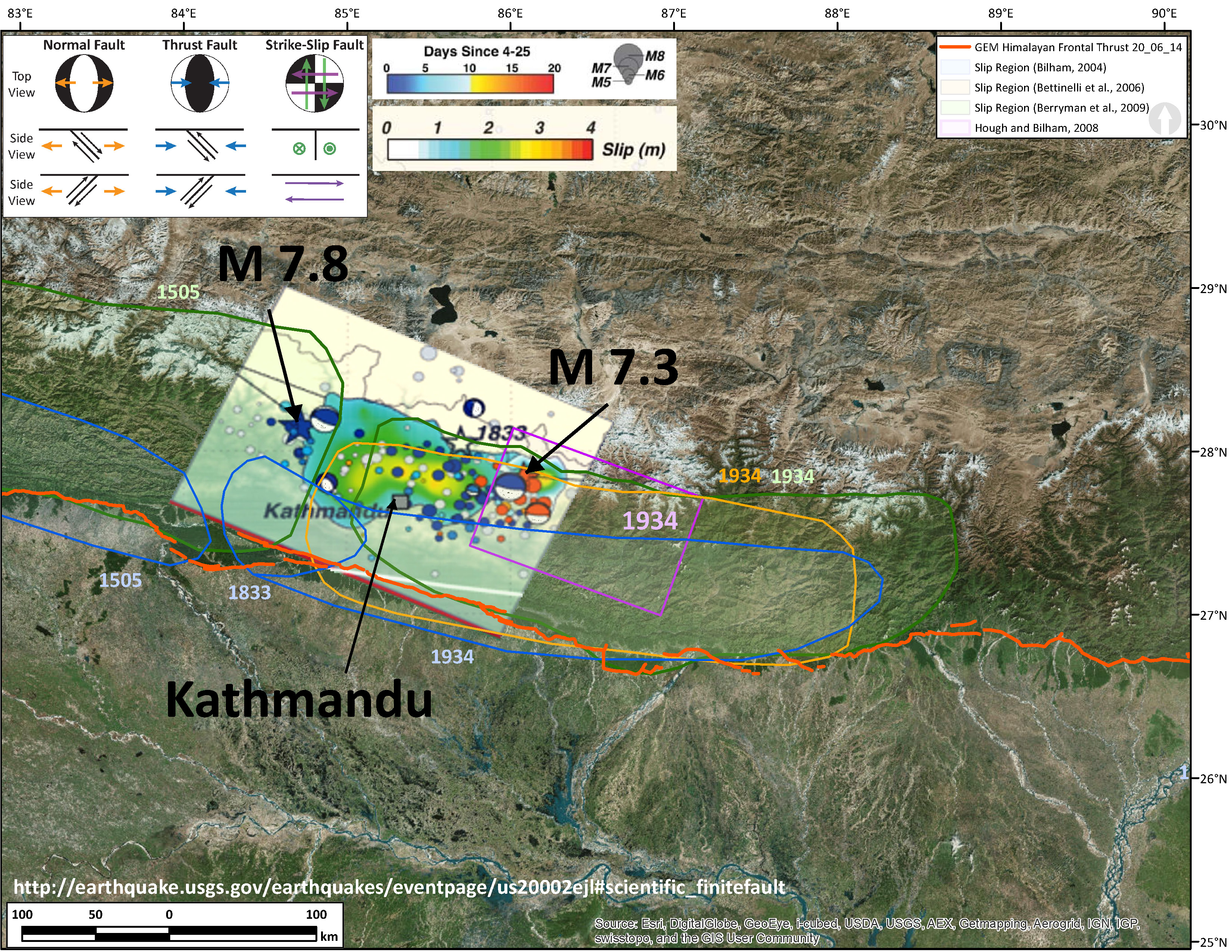
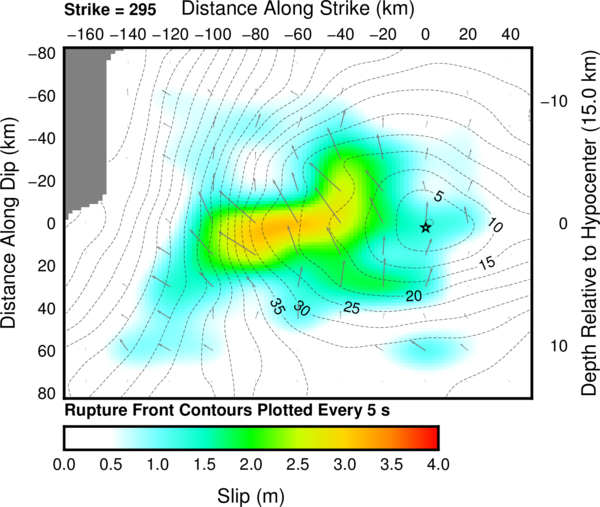
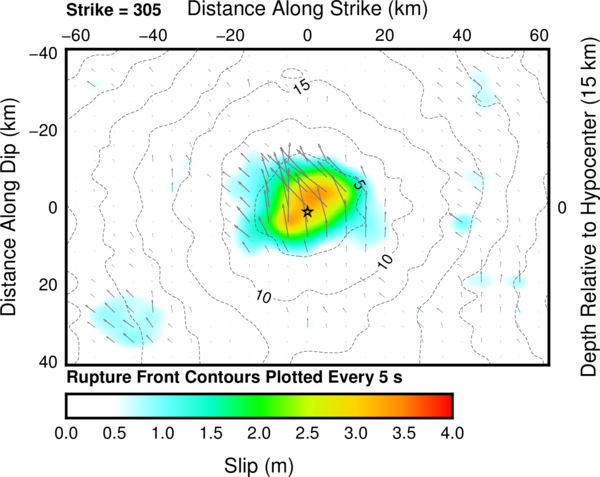
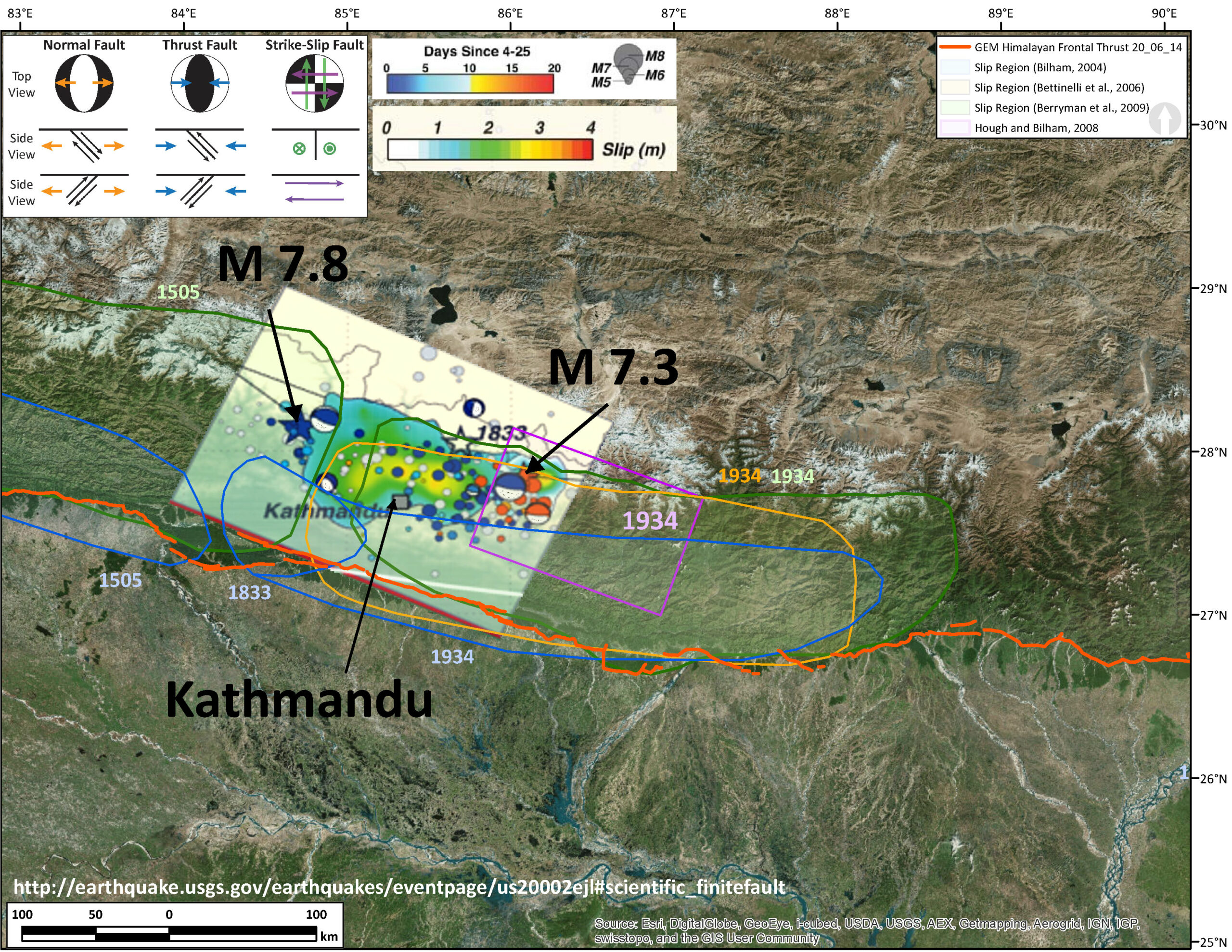
The USGS has processed an inversion of the seismic data for a slip model for the Mw 7.3 earthquake. I have rubbersheeted their fault plane solution, as well as the solution for the Mw 7.8 earthquake for comparison. Please find them below. Here are the links to the USGS web pages for the Mw 7.8 Finite Fault Plane Solution and the Mw 7.3 Finite Fault Plane Solution. The methods that the USGS uses to invert the seismic data are included on those pages. I list their references below.
Mw 7.8 Earthquake Finite Fault Plane Solution from the USGS.
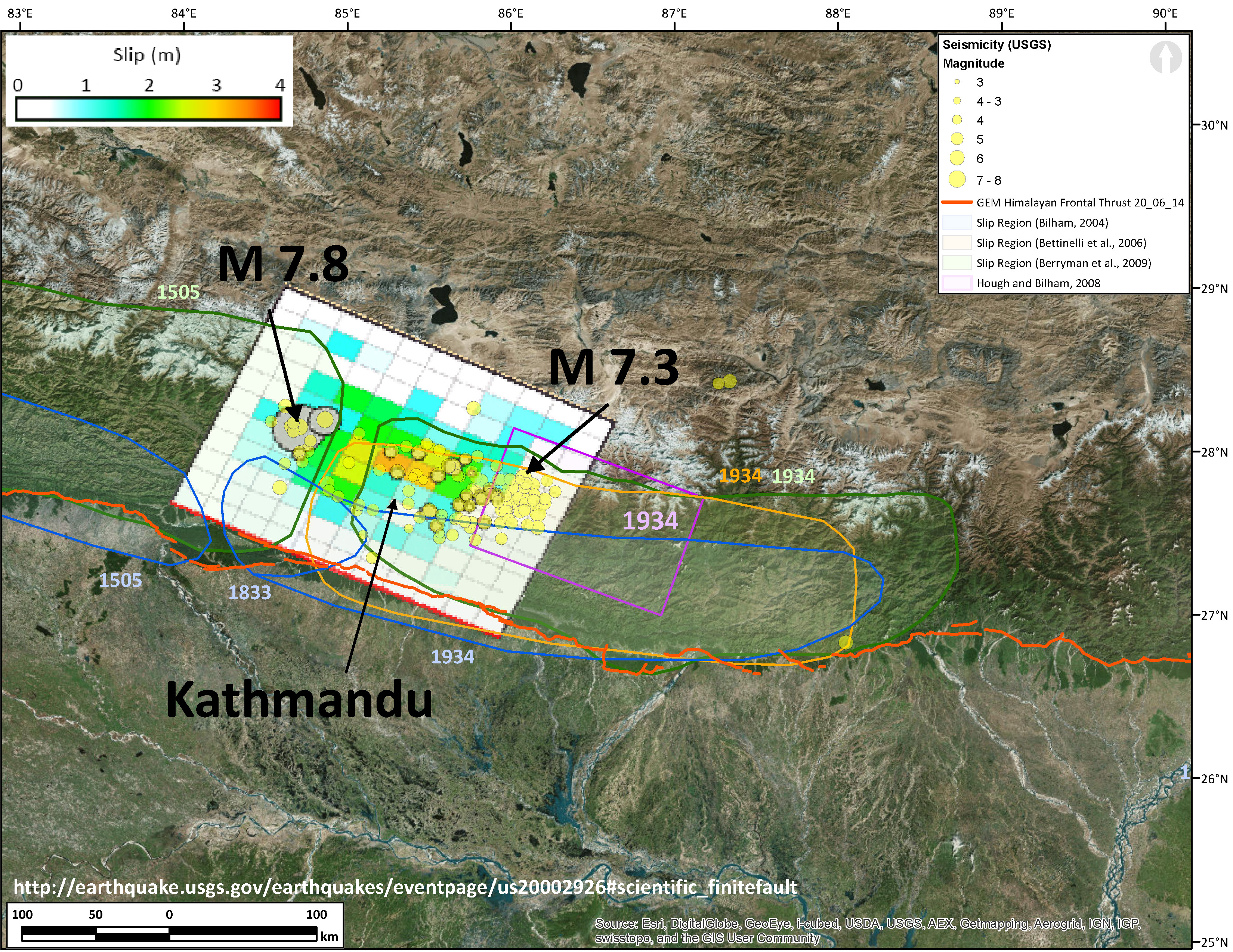
Mw 7.3 Earthquake Finite Fault Plane Solution.
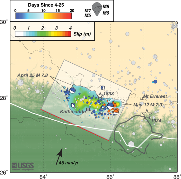
Here is their original map for the Mw 7.8 earthquake:
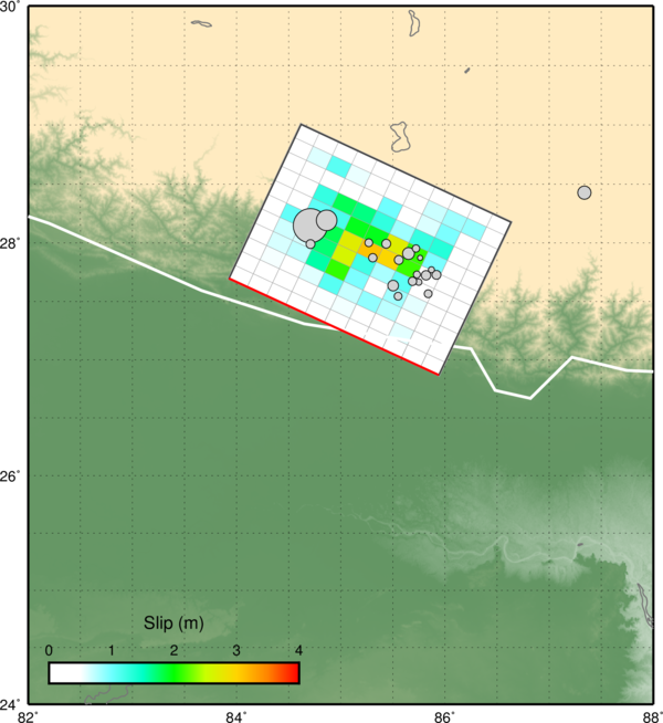
Here is their original map for the Mw 7.3 earthquake:
Here are the slip models:
Mw 7.8 earthquake:
Mw 7.3 earthquake:
-
Here are some posts of mine related to this 2015 seismic swarm in Nepal.
- Mw 7.8 Mainshock Initial Post: original post and links to USGS
- Mw 7.8 Mainshock 1st Update: historic earthquakes
- Mw 7.8 Mainshock 2nd Update: ground motions
- Mw 7.8 Mainshock 3rd Update: surface displacement maps
- Mw 7.8 Mainshock 4th Update: updated historic seismicity maps
- Mw 7.8 Mainshock 5th Update: another surface deformation map
- Mw 7.3 Aftershock original post: epicenter map and PAGER estimate
- Mw 7.3 Aftershock 1st Update: updated maps with moment tensors
- Mw 7.3 Aftershock 2nd Update: updated maps with updated estimates of ground motion intensity, PAGER estimates, and USGS fault plane model
- Mw 7.3 Aftershock 3rd Update: Overlap of April and May aftershocks
-
References:
- Bassin, C., Laske, G. and Masters, G., 2000. The Current Limits of Resolution for Surface Wave Tomography in North America, EOS Trans AGU, 81, F897, 2000.
- Ji, C., Wald, D.J., and Helmberger, D.V., 2002. Source description of the 1999 Hector Mine, California earthquake; Part I: Wavelet domain inversion theory and resolution analysis, Bull. Seism. Soc. Am., Vol 92, No. 4. pp. 1192-1207, 2002.
- Ji, C., Helmberger, D. V., Wald, D. J., and Ma, K. F., 2003. Slip history and dynamic implications of the 1999 Chi-Chi, Taiwan, earthquake, J Geophys Res-Sol Ea, 108(B9).
- Shao, G. F., Li, X. Y., Ji, C., and Maeda, T., 2011. Focal mechanism and slip history of the 2011 M-w 9.1 off the Pacific coast of Tohoku Earthquake, constrained with teleseismic body and surface waves, Earth Planets Space, 63(7), 559-564.
2 thoughts on “Nepal (Gorkha) Earthquake: USGS Slip Models”