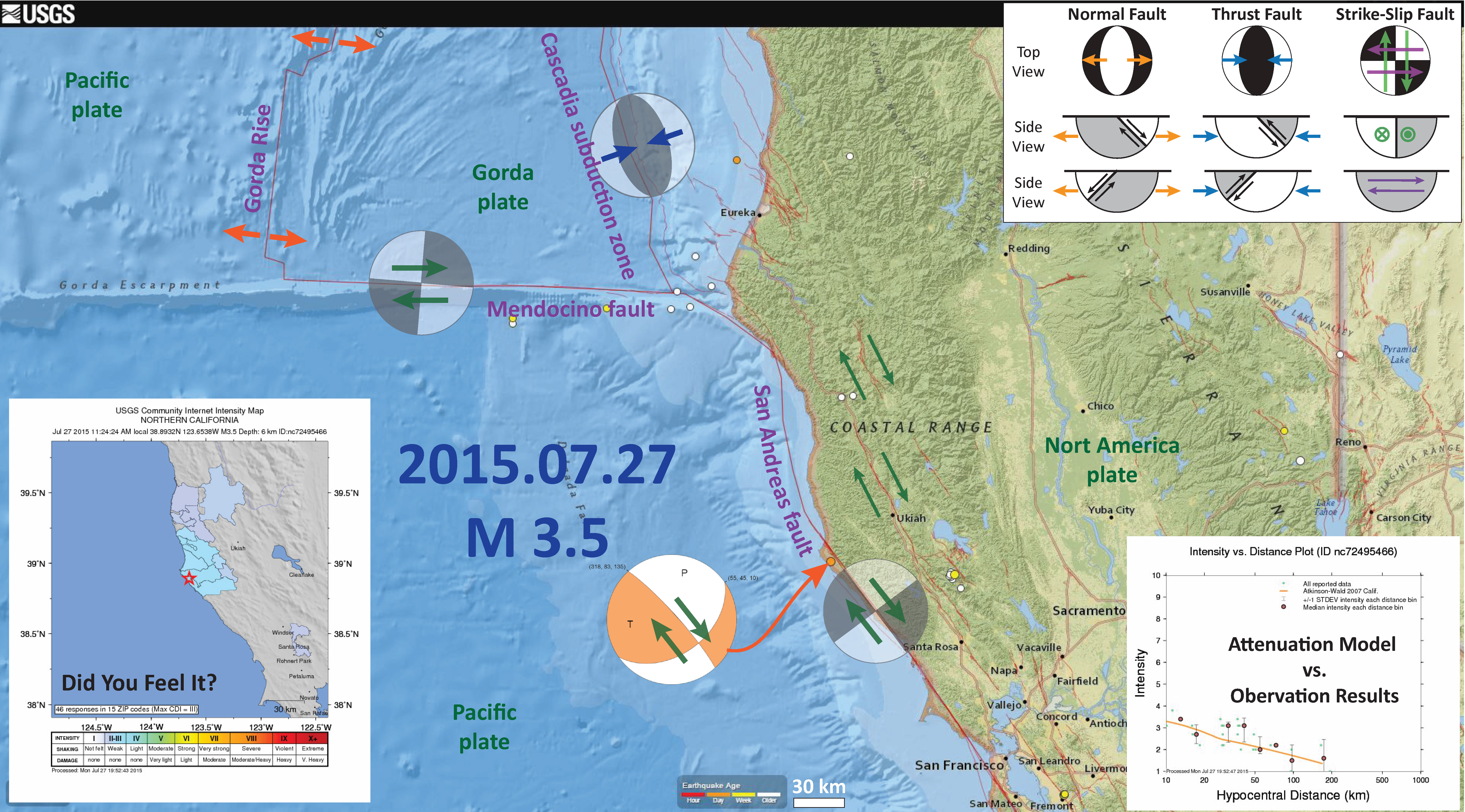
Today we had a small magnitude, M = 3.5, earthquake near Point Arena. Based upon the location and focal mechanism, I interpret this to have been a north-northwest striking right-lateral (dextral) strike-slip earthquake. The fault that ruptured is likely either the San Andreas fault (SAF), or a nearby synthetic fault. We cannot tell solely based upon the location and focal mechanism, so it is possible that this was a east-northeast striking left lateral fault, conjugate to the SAF (though this seems much less likely). Here is the USGS web page for this earthquake.
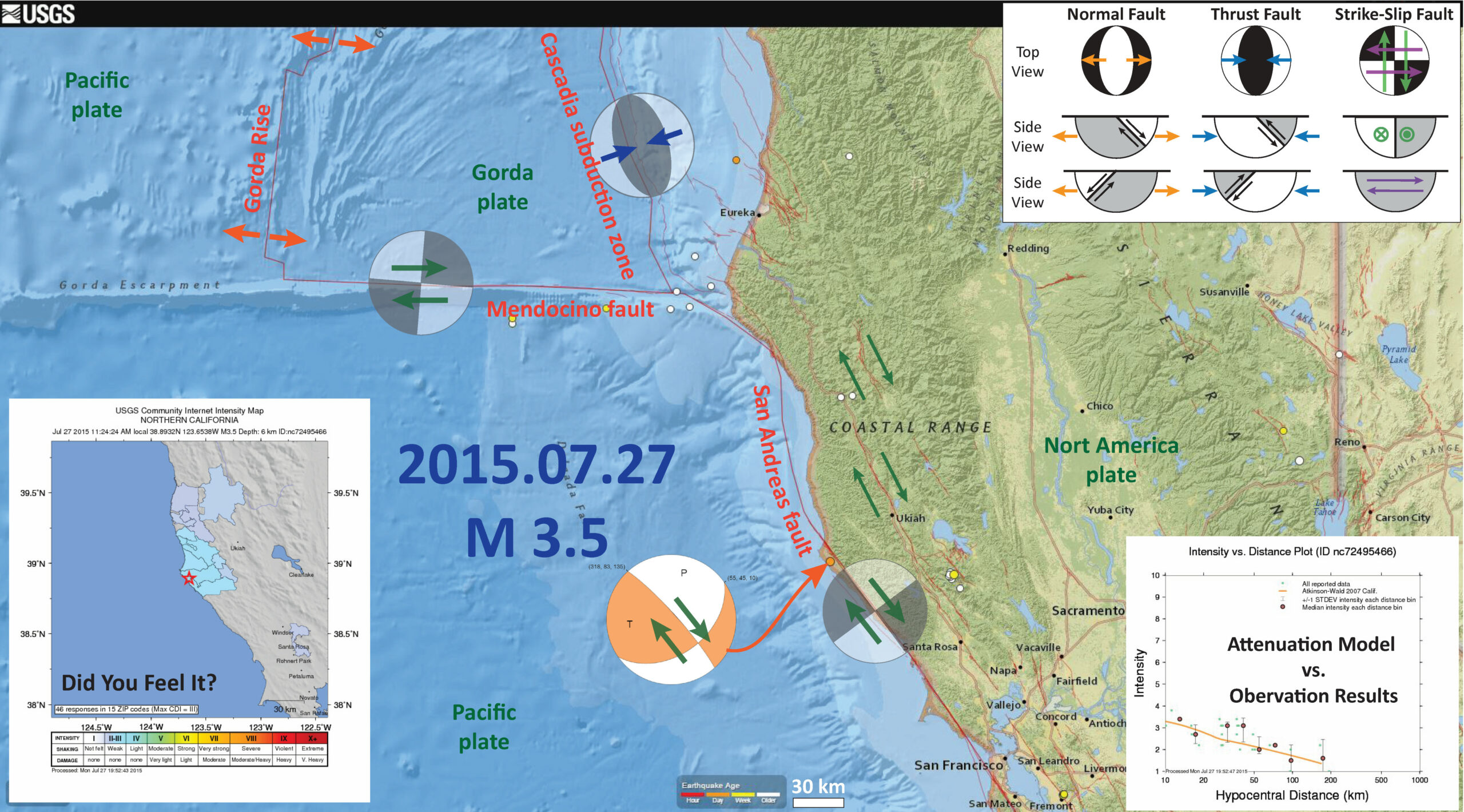
Here is a map showing the plate boundary and active faults in this region. I have plotted the focal mechanism, which is a fault plane solution that provides two possible fault orientations. There is a legend on the map for focal mechanisms/moment tensors. Please review these web sites for more information on focal mechanisms (wiki & USGS) and moment tensors (wiki & USGS).

I also plot the Did You Feel It map, that shows the shaking intensity results from real observations. These are based upon reports from real people, who use the USGS online web form to describe their observations from the earthquake (e.g. shaking chandelier, cracks in walls, etc.). In the lower right corner, I show a USGS plot that displays how (1) the DYFI observations show a decay in ground shaking intensity with distance from the earthquake and (2) how the Ground Motion Prediction Equations (attenuation relations) also reflect this decay in ground motions with distance from the earthquake (in km). Note how the model do a reasonable job at fitting the observations.
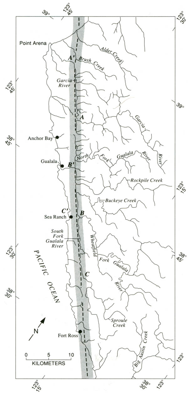
Here is a map that shows how the SAF crosses the landscape south of Pt. Arena. I found this online here.

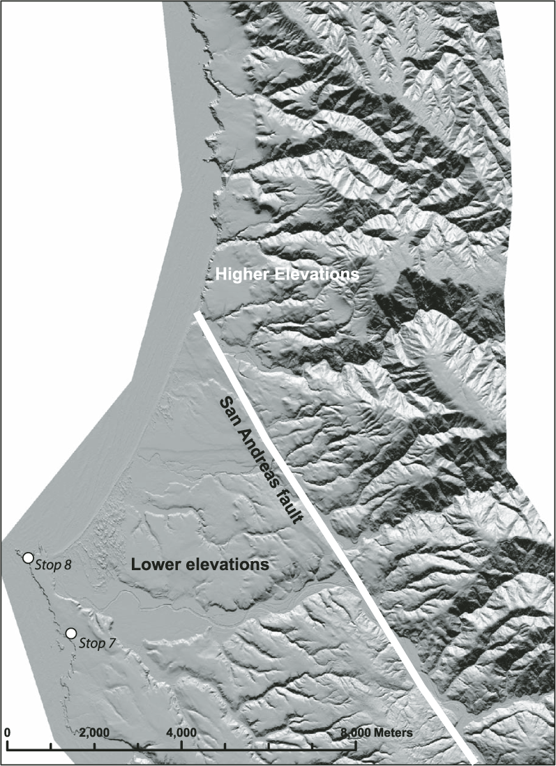
This is a map that shows the generalized location of the SAF at the location where the fault leaves land for a marine setting. The fault comes back on land in Shelter Cove. This image comes from a Geological Society of America Field Trip Guidebook. The underlying map is a shaded relief map that is based upon 1 meter resolution LiDAR data (high resolution topographic data).

Small Earthquake near Point Arena!

5 thoughts on “Small Earthquake near Point Arena!”