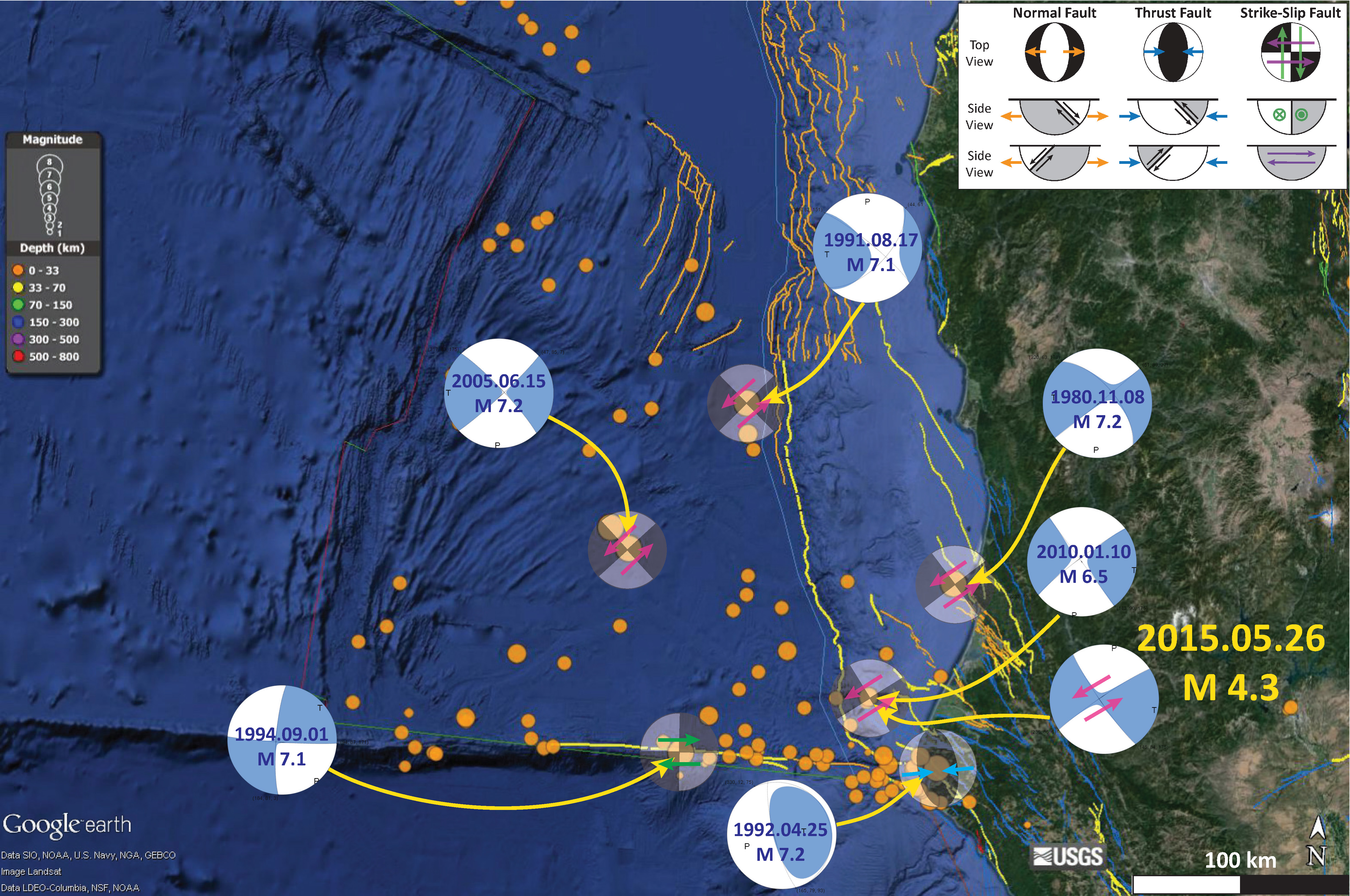
We just had an earthquake along the nodal plane of the Gorda plate earthquake earlier today. Here is the USGS web page for the Gorda M = 4.3 earthquake and here is the USGS web page for the Gorda plate M = 2.9 earthquake. The M = 2.9 earthquake plots at ~30 km depth, which is deeper than the megathrust fault, based upon the McCrory et al. (2006) slab contours.
Here is a map showing these two epicenters. The fault that ruptured during the M = 4.3 earthquake is quite possibly the same fault that ruptured in 2010. However, it seems improbable that this fault would be straight enough to align with the nodal plane in the transparent focal mechanism shown in this figure.

Here is a map from my M = 4.3 earthquake post from earlier today.

I post more material about the Cascadia subduction zone on this 315th anniversary page.
-
References:
- McCrory, P. A., Blair, J. L., Oppenheimer, D. H., and Walter, S. R., 2006, Depth to the Juan de Fuca slab beneath the Cascadia subduction margin; a 3-D model for sorting earthquakes U. S. Geological Survey