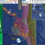
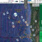
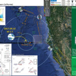
It was a busy week (usual, right?). The previous week I was working on getting a house remodel done so someone could move in (they have been sleeping on couches for 6 months, so want to get them in asap).…
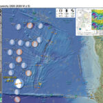
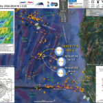
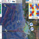
The Center, Body, and Range of Technically Defensible Interpretations. The CBD of TDI.