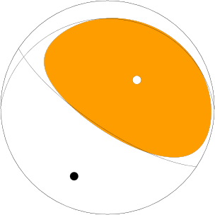
Here is a series of earthquakes in the region of the 2005 great Sumatra-Andaman subduction zone earthquake. These earthquake epicenters plot very close to the epicenter of the 2005 earthquake.
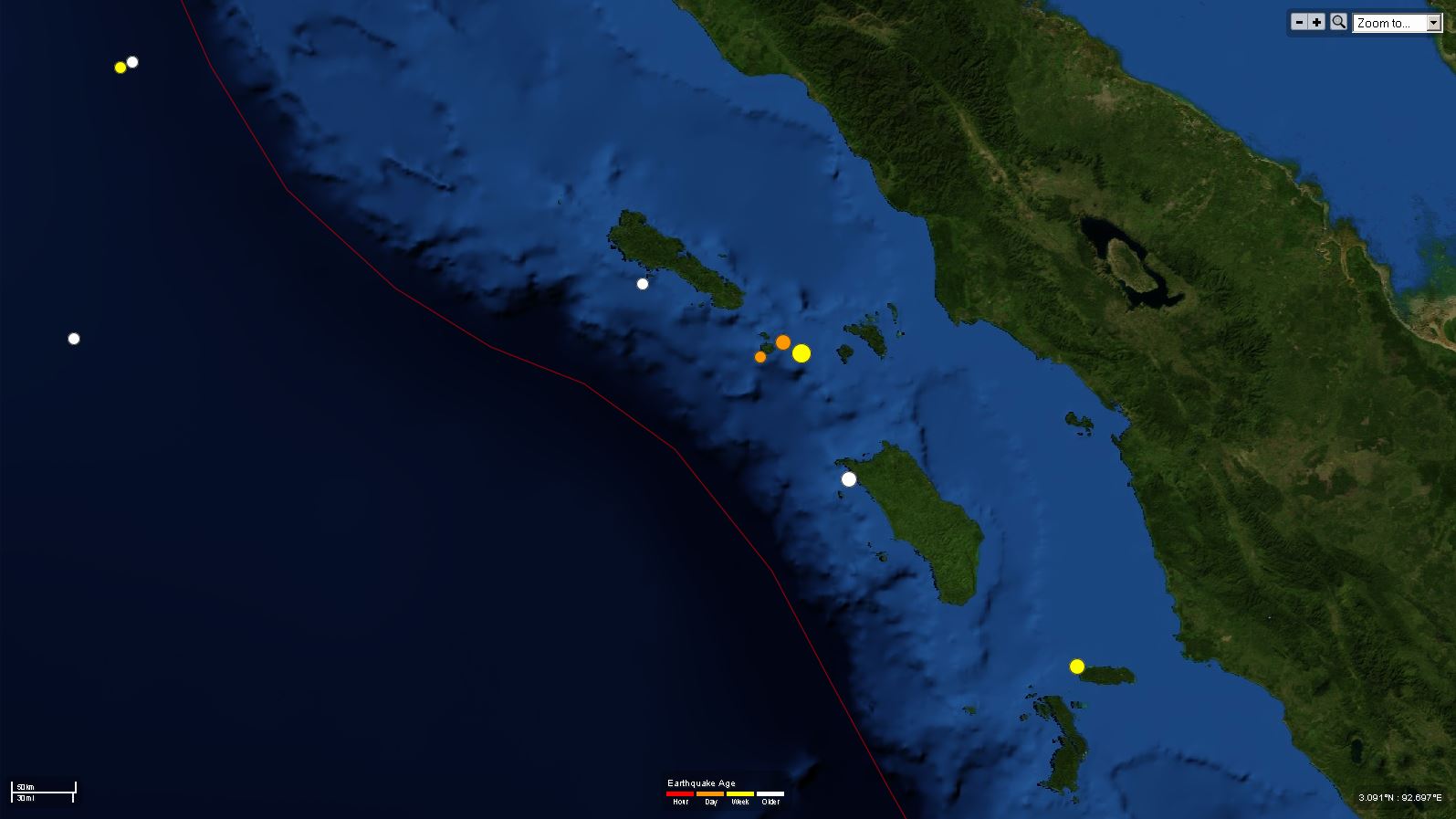
The island just northwest of today’s earthquake is named Simeulue. The island is located at the southern terminus of the 2004 earthquake and the northern limit of the 2005 earthquake. Records of past earthquakes are recorded in the growth rings (like the rings of a tree) of coral micro atolls (Aaron Meltzner, Belle Philibosian, Kerry Sieh, Danny Natawidjaja, and Richard Briggs have worked on these). This region is called the Simeulue Saddle because not only did the middle of the island not deform vertically during either 2004 nor 2005 earthquakes, but also for past earthquakes (as measured in the coral growth rings). We think this may be a persistent boundary for subduction zone earthquakes along this subduction zone.
These earthquakes are actually not at the saddle, but i thought it was a fun name for the swarm.
Here is the USGS page for the M5.4 earthquake.
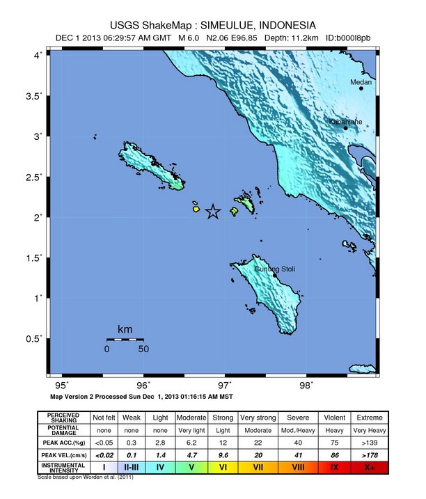
Here is the USGS page for the M6.0 earthquake.
Here is the focal mechanism for the M5.4 from 12/2, revealing a thrust or reverse mechanism. The other earthquakes were too small and did not get moment tensors.

Here is the focal mechanism for the M6.0 from 12/1, revealing a thrust or reverse mechanism. The other earthquakes were too small and did not get moment tensors.
Here is a map of these recent earthquake epicenters. Lake Toba, a caldera left behind from the largest volcanic eruption in the Pleistocene, is the lake due east of these earthquakes.
Here is the Modified Mercalli Shaking Intensity from the M6.0 on 12/1:
Here is a map of the historic earthquakes in this region:
