This is a very interesting part of the world, where subduction and transform faults interact with each other. The New Britain trench is linked to the New Hebrides trench with a plate boundary fault. Based on plate motions, this could also be a transform fault. Perhaps this series of earthquakes will help resolve these different interpretations (much like the Queen Charlotte fault zone north of Vancouver Island, which is an imperfect analogy). Here is the USGS web page for this M 7.4 earthquake.
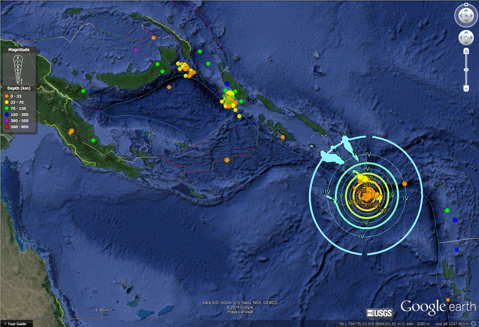
Here is a map showing the latest triggered earthquake (not an aftershock). This map shows shaking intensity with Modified Mercalli Intensity contours (look at the legend).
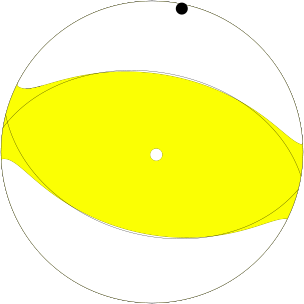
Here is the moment tensor for this large magnitude earthquake, showing a thrust mechanism.
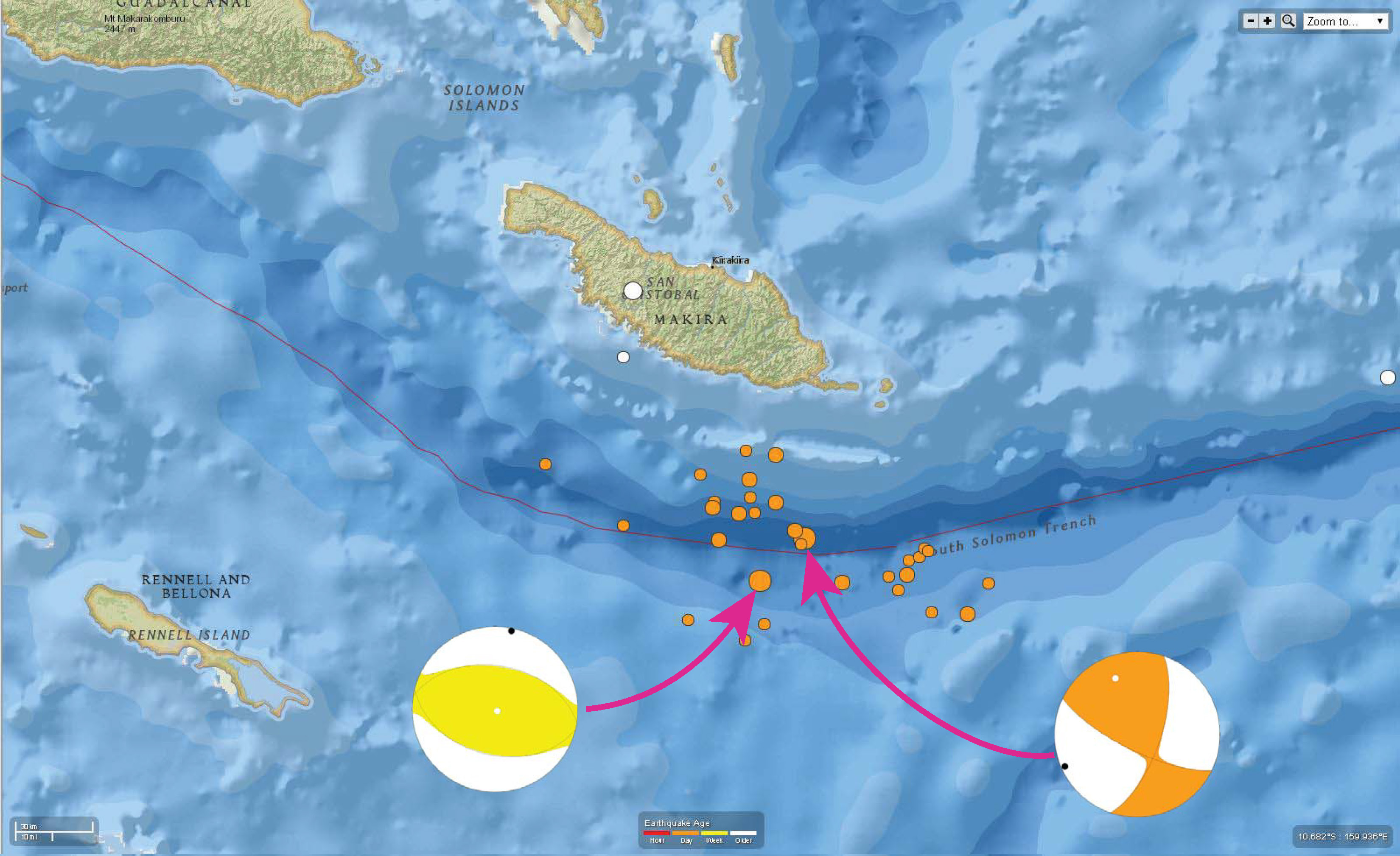
This map shows the moment tensors for the M 7.4 triggered earthquake and the M 7.6 earthquake, probably triggered due to changes in stress on the fault as a result of the M 7.1 earthquake further north.
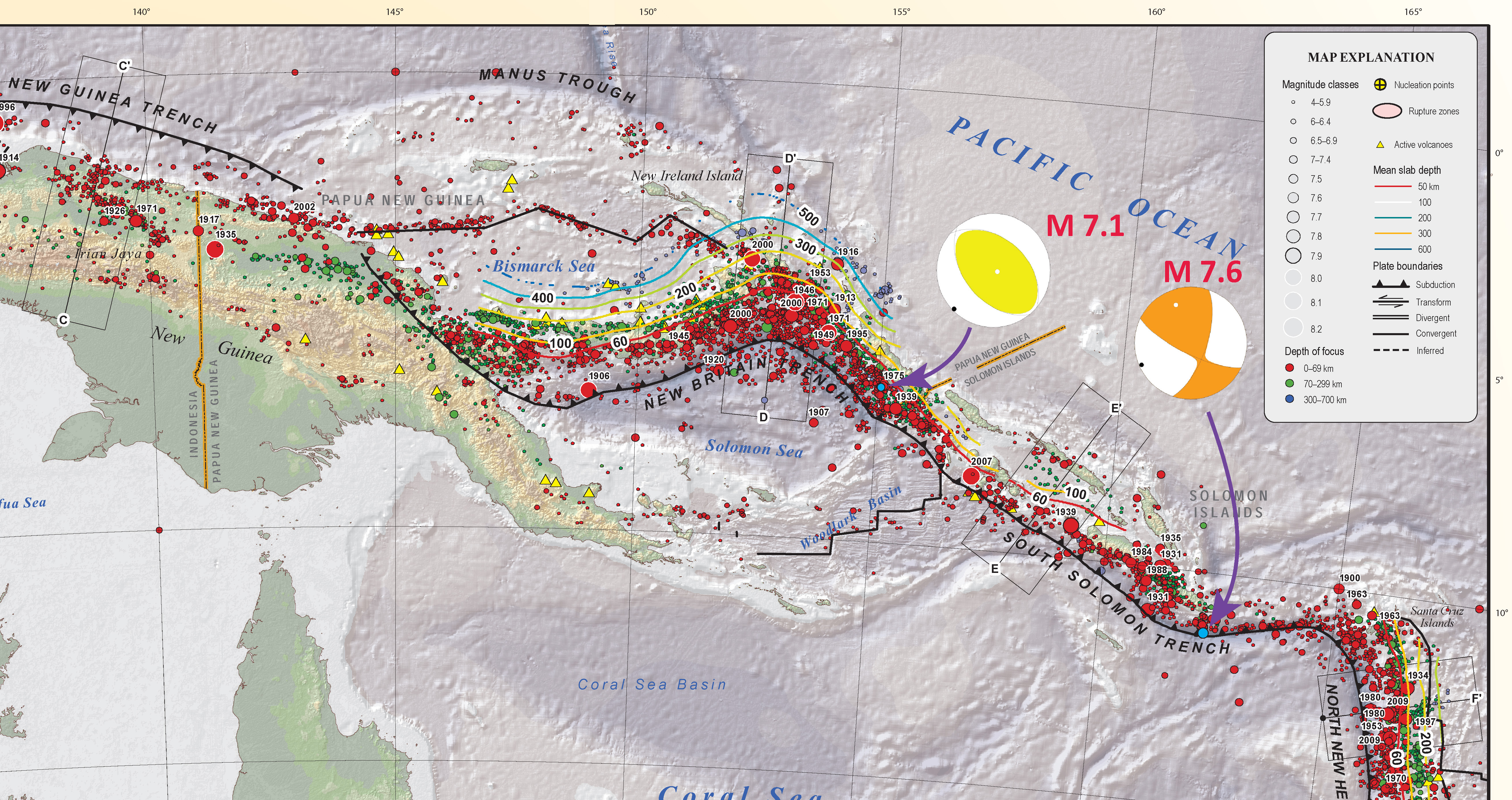
This map shows the M 7.1 and M 7.6 earthquakes and their moment tensors.
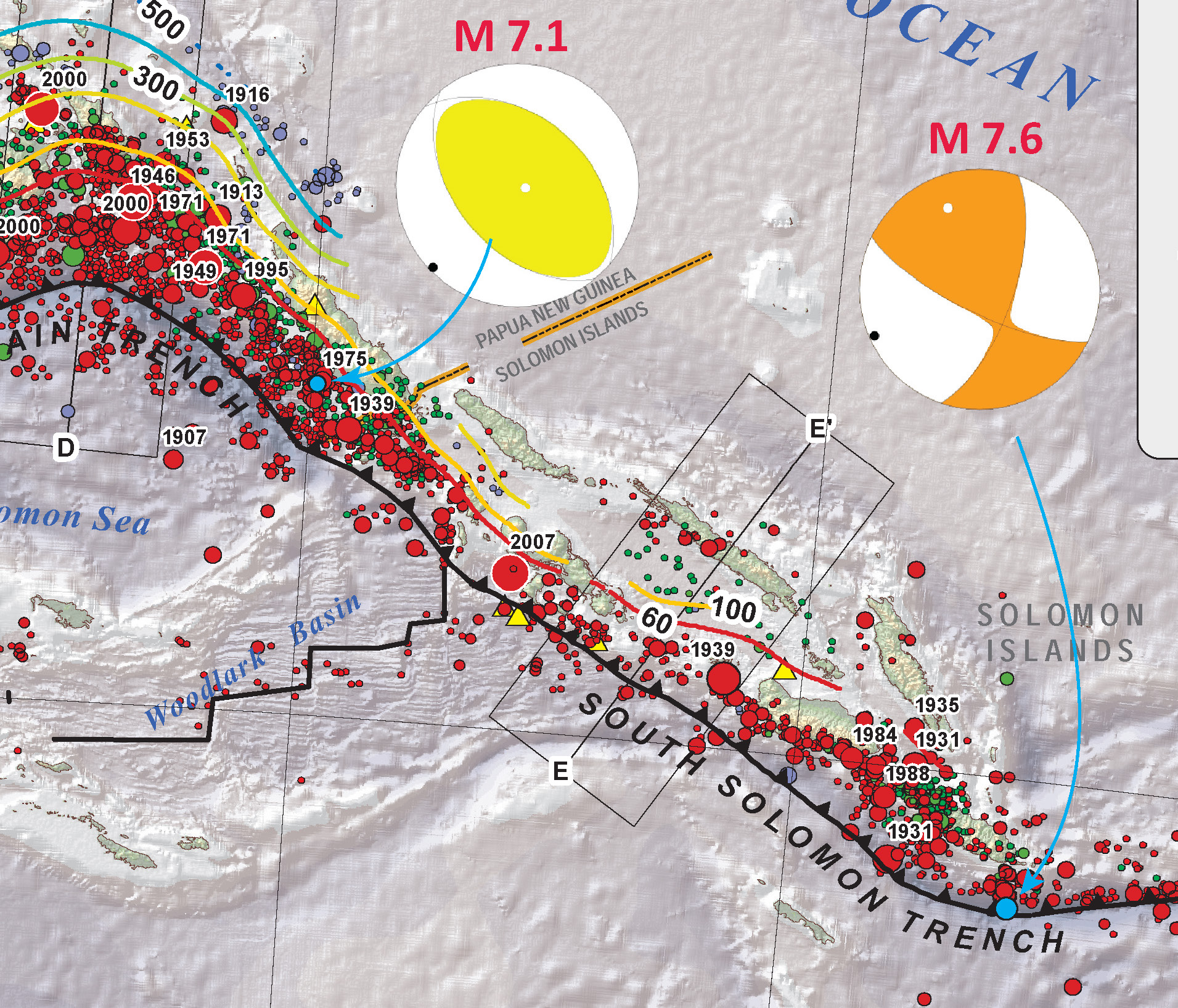
This is the same map, but at a smaller scale and larger spatial extent.
Here is a primer for those interested in looking at how the change in orientation of principal stress can affect faulting on different fault orientations. This is from a pub prepared by the World Stress Map Project.
This is an animation from IRIS that describes well the complicated tectonics in this region, where transform and subduction zones meet. Those in the southern and northern Cascadia subduction zones see analogues in their back doors. Thanks to Rick Wilson for reminding me of this animation! This animation explains so much. The map below is a link to a 10 MB m4 video file. The video may or may not open in your browser. You may want to view the online youtube version.
2 thoughts on “Another triggered earthquake in the Solomon Islands”