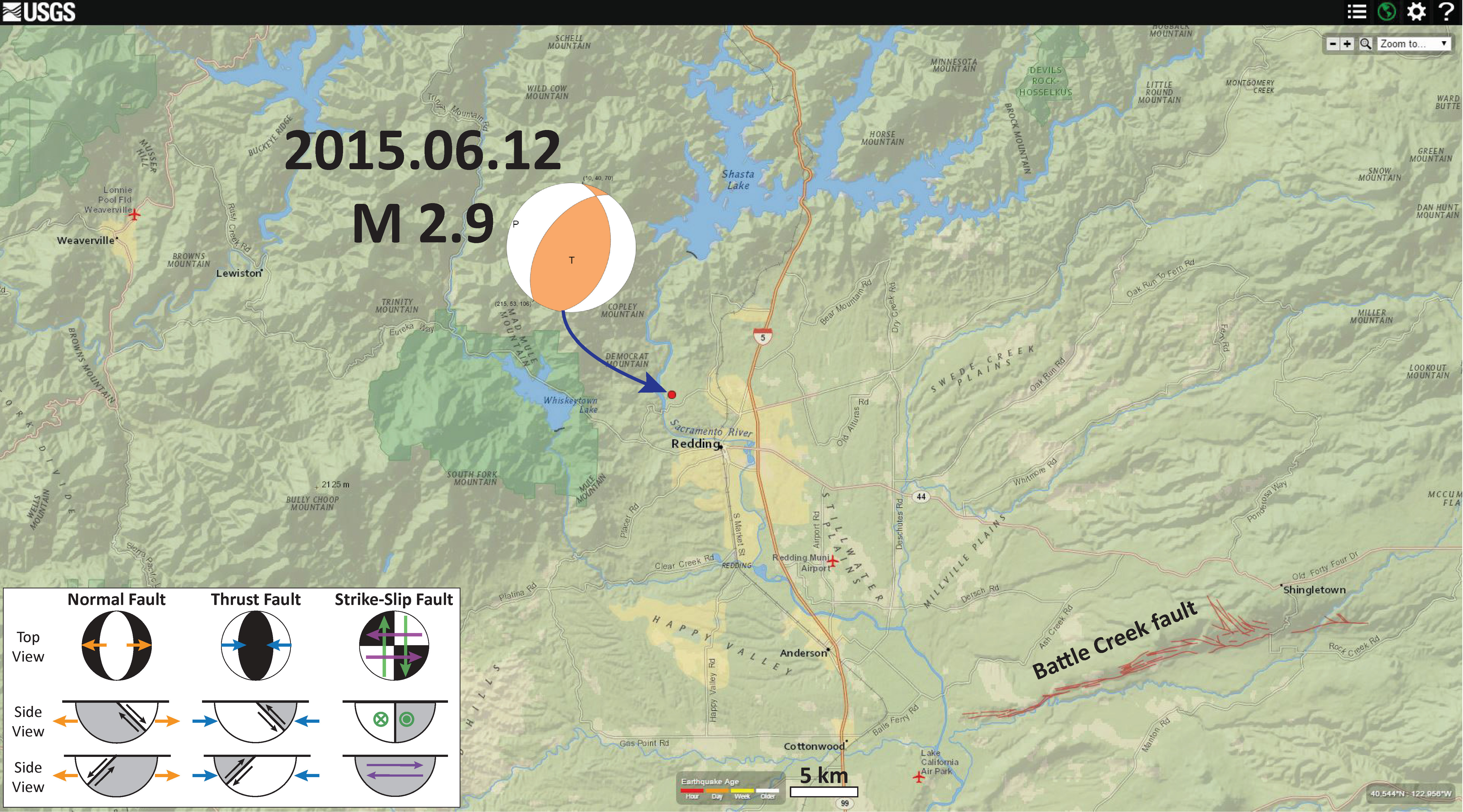
We just had a small earthquake in Redding, California. The shaking was felt as far as 40 km from the epicenter, which was not deep (so probably in the North America plate). The focal mechanism shows that this was a reverse (compressional) earthquake. This is the USGS web page for this earthquake.
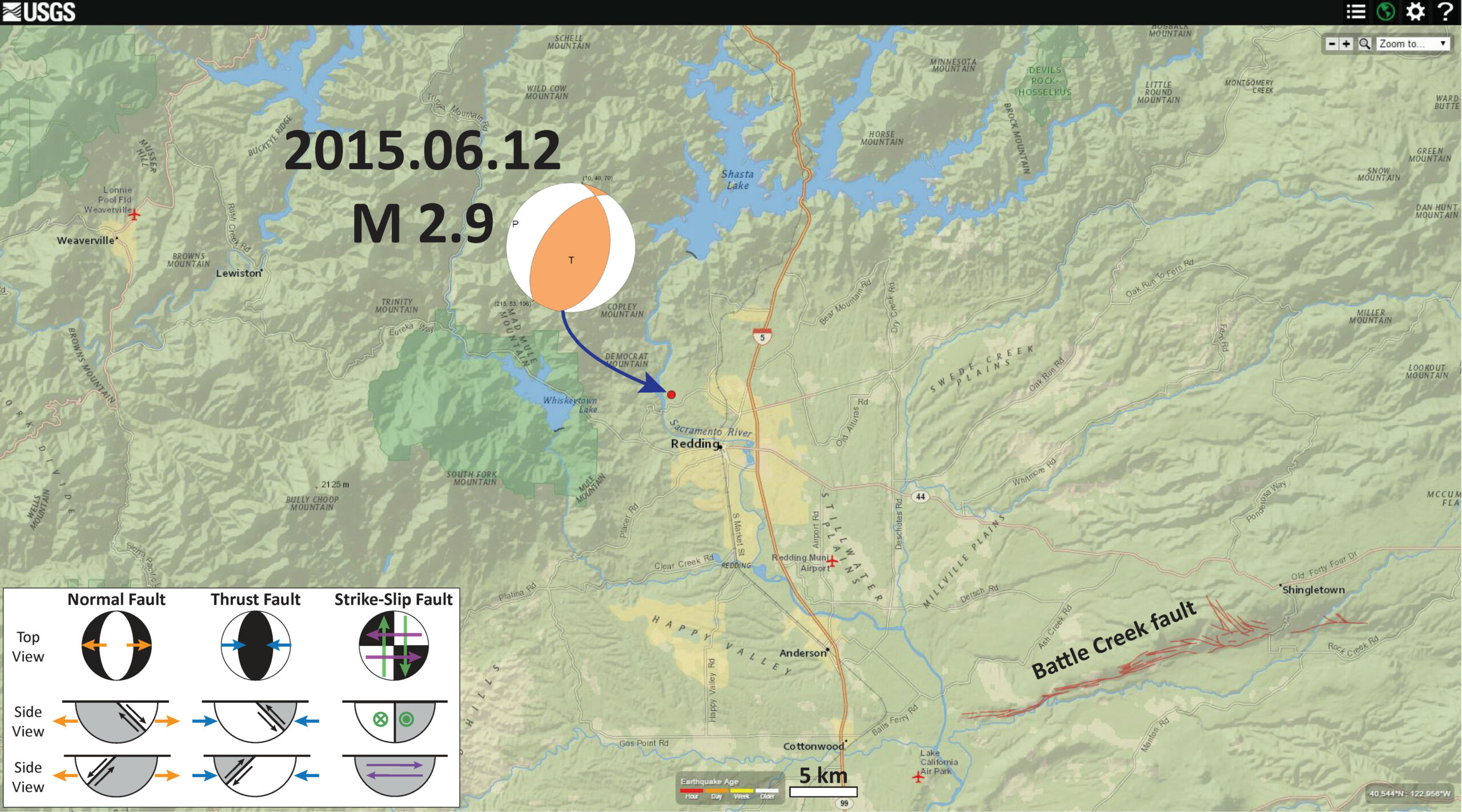
Here is a map of the region, showing the focal mechanism and USGS epicenter.
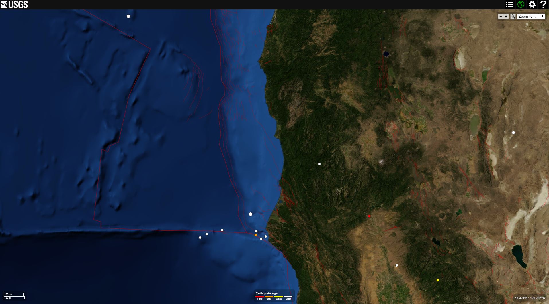
Here is a map for those unfamiliar with the region of northern California where Redding is located. The epicenter is plotted as a red dot.
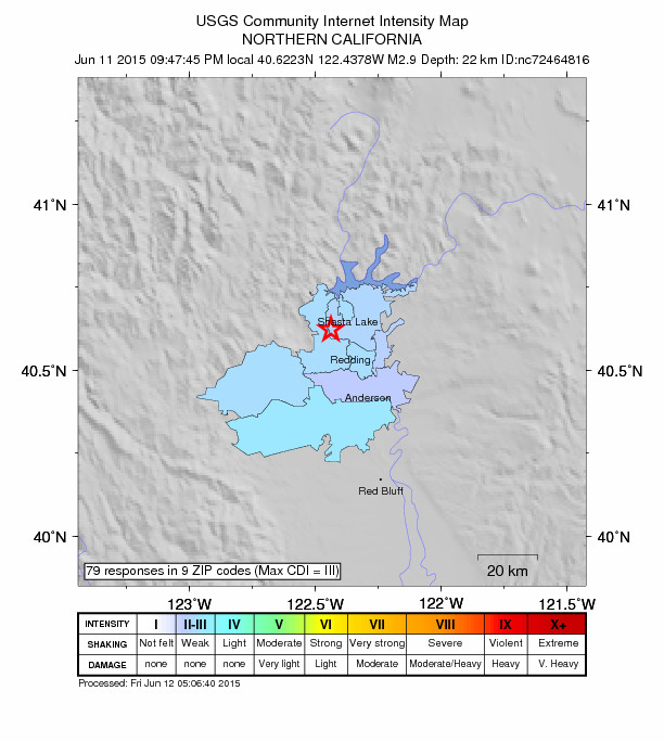
This is the USGS “Did You Feel It?” map, showing the responses from real people who actually made observations about this earthquake. The color represents the magnitude of ground shaking (intensity) and uses the Modified Mercalli Intensity scale. If anyone felt this earthquake, go to this web page to report your observations. These data are valuable to the scientific community.
Earthquake in Redding, CA!
Hopefully no more since we are about to train through there!
….on your way to?
Redding? When was the last significant one in Redding?
1998 5.4 in about the same area… ill post on this…
Did the 5.8 give a domino effect with other quakes in Cali if that’s even possible?
probably not… dynamic triggering typically occurs on shorter time scales… and the changes in stress along faults at such a great distance like this would be very small…
here u go http://earthjay.com/?p=2654
Wow I’m going there to Shasta Lake near Redding for a class on July 25th through the 28th on building / converting gas to electric cars.
here is an updated map with historic seismicity plotted… (not much since 1945) http://earthjay.com/?p=2654
The last time I was in that area was 1976.
The Klamaths are rising!!
A lot of things happening these days.
no more than normal (if you are talking about earthquakes)…
I live in Rochester, NY. We have had two tornados touch down around here in a couple of months. It is rare that we have them. Plus we have had a number of bad storms pass through.