Early this morning (luckily I was not awake at the time) we had a really deep (~677km) M = 7.8 extensional earthquake along the Bonin Trench in the western Pacific. Here is the USGS page for this earthquake.
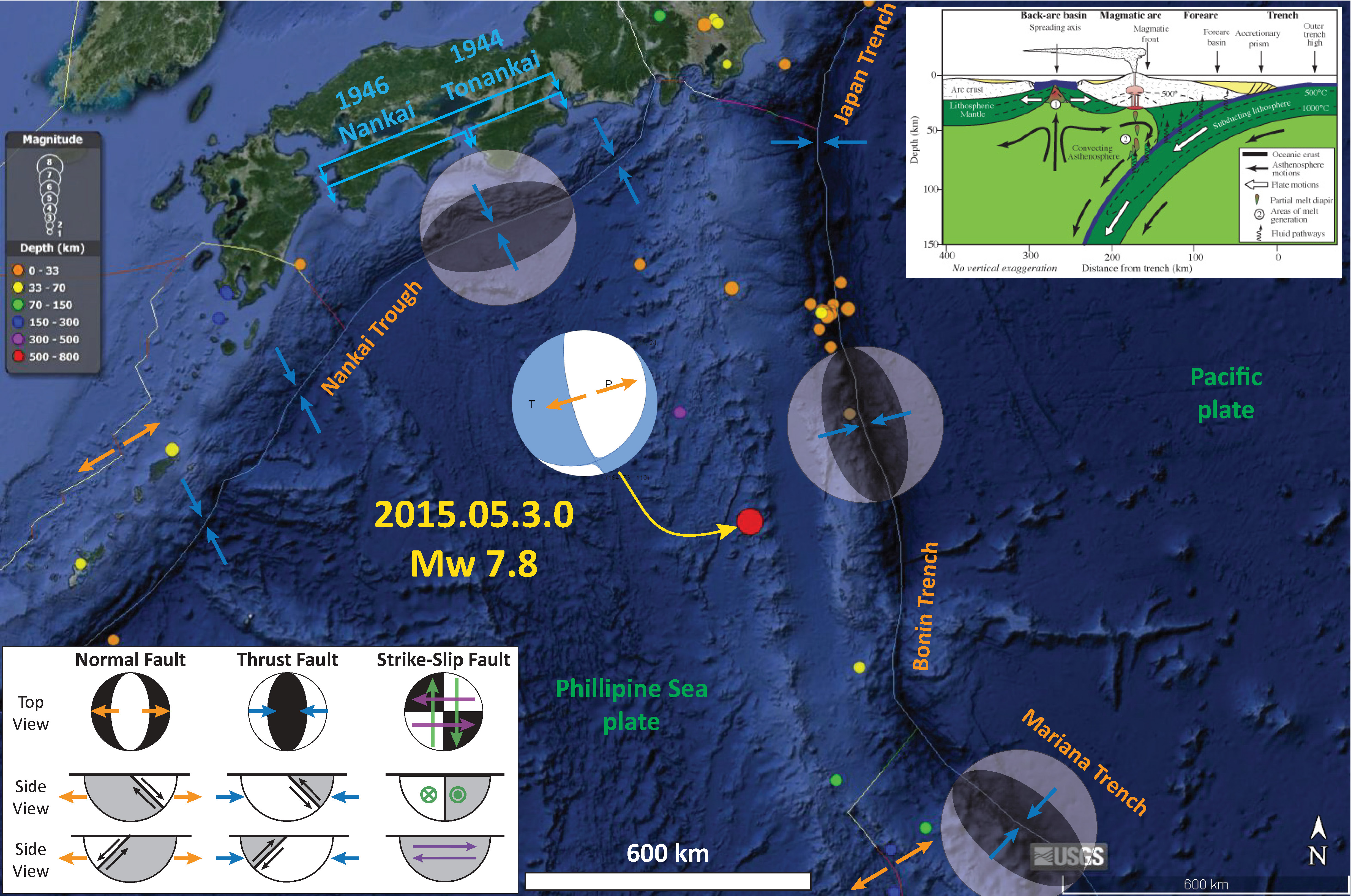
Here is a map that shows the epicenter in red (due to the depth), along with the moment tensor for this earthquake. I also plot the general location of the 1944 Tōnankai and 1946 and Nankai Earthquakes. I also include a cross section for this subduction zone (also from the wikipedia page).
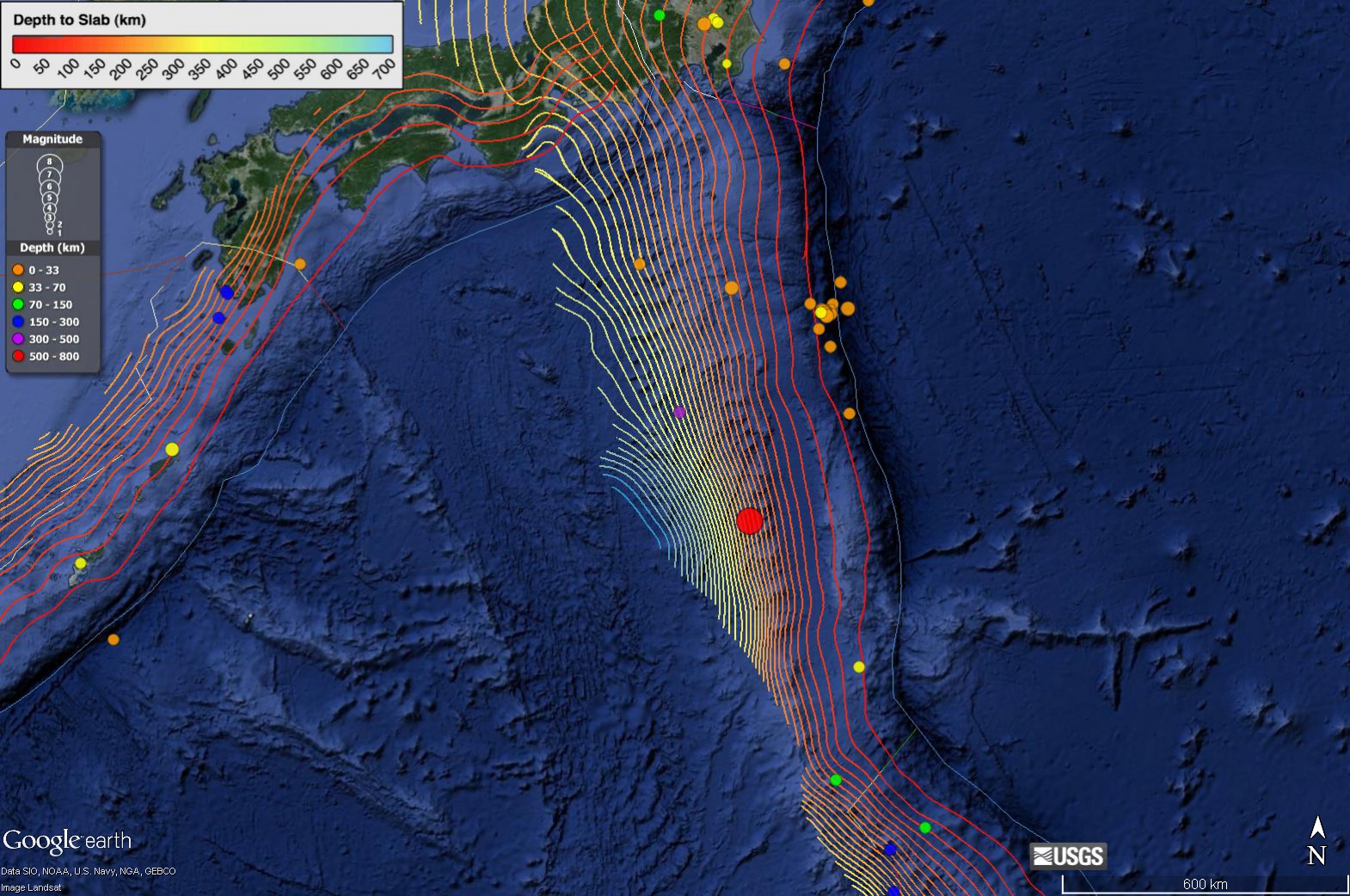
Here I have plotted the slab contours (Hayes et al., 2012).
Here is a regional tectonic map from the wikipedia site on this region.
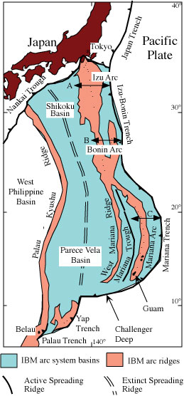
There is more about the regional tectonics on the USGS page here.
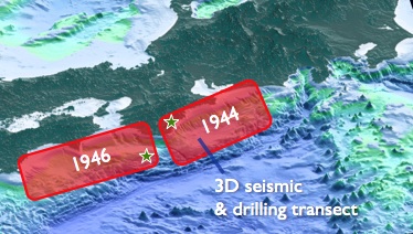
Here is a map showing the general locations of the 1946 Tōnankai and 1944 Nankai Earthquakes.
-
References:
- Hayes, G. P., D. J. Wald, and R. L. Johnson (2012), Slab1.0: A three-dimensional model of global subduction zone geometries, J. Geophys. Res., 117, B01302, doi:10.1029/2011JB008524
this is really crazy Jason Robert Patton !
oohhh!!! I love Bonin! Sweet high-Mg Basalt there!
pretty special
It’s acually called Boninite. <3