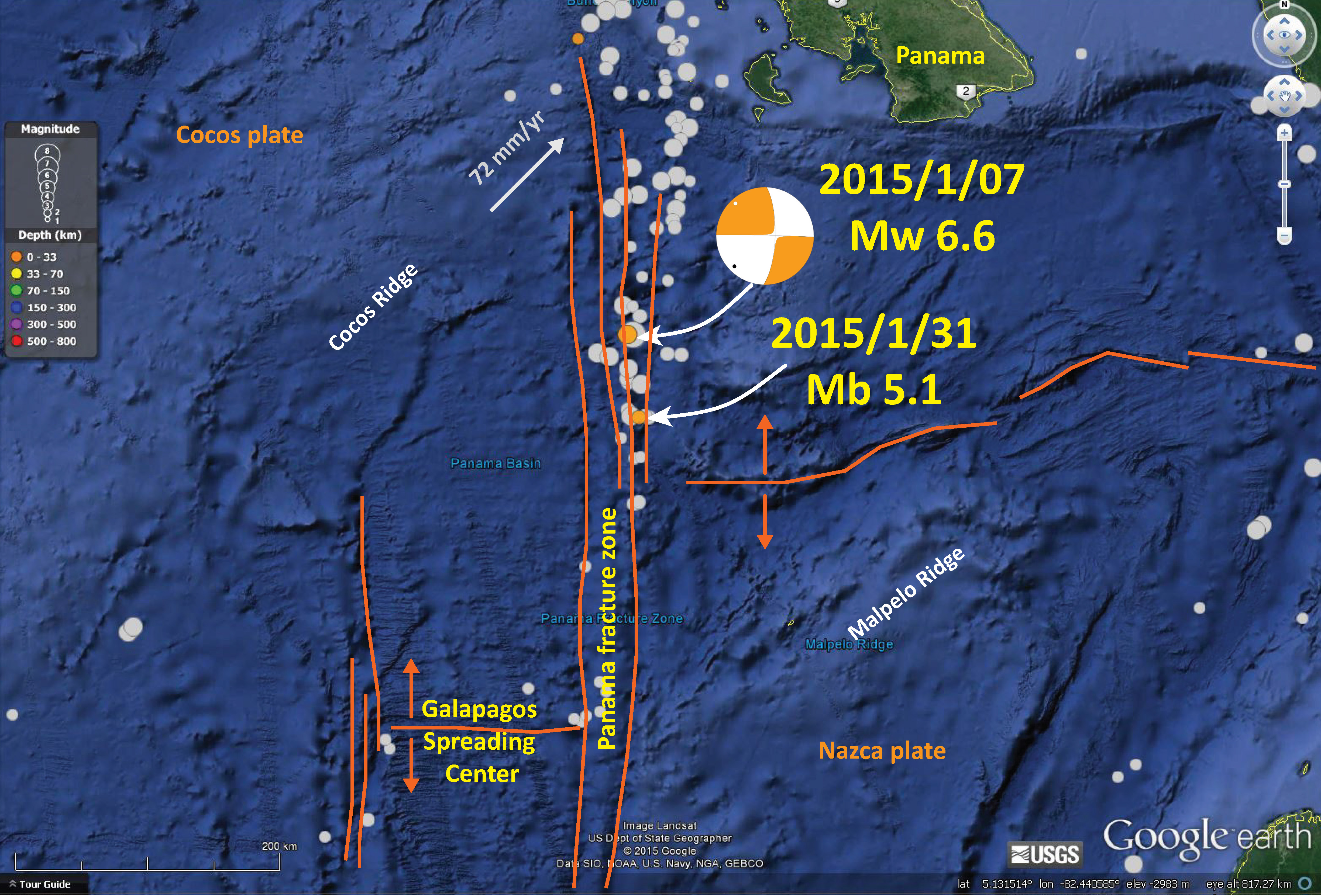
We have another earthquake along the Panama fracture zone (PFZ) plate boundary. There are numerous sub-parallel transform (strike-slip) faults in this region. The most recent earthquake is a M = 5.7 and is plotted as the most southerly orange dot in this map. Orange denotes a hypocentral depth of 0-33 km. There was a swarm further to the north in May of 2014.
Here is the same map with historic earthquakes plotted as grey circles. Note how many of them align with the PFZ.
Here is a zoomed in view (“larger” scale than the above maps). One may observe the north-south oriented ridges in the sea floor. These are the various faults associated with this plate boundary. There appear to be 4 or 5 major faults.
This map is also at a regional scale and shows how broadly distributed the seismicity is along the PFZ.
Today’s M = 5.7 earthquake is just to the south west of the M = 5.1 from 1/31/15 plotted on this map. I discussed the PFZ on an earlier post.

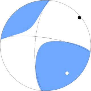
Here is the moment tensor from this M = 5.7 earthquake. It matches the earlier quakes and, with the knowledge of the faults in the region (the PFZ), I interpret this earthquake to be right lateral strike slip.

And again and again.