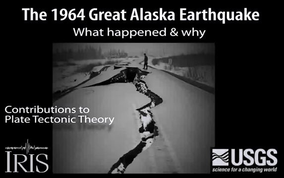
The 1964 Great Alaska Earthquake occurred on Good Friday, March 27th. It and rocked the state with strong ground shaking for 4.5 minutes. At magnitude 9.2, it was the second largest quake ever recorded by seismometers.
This animation shows the underlying causes of that earthquake, and tells how research done on the ground deformation contributed to confirmation of early theories of plate tectonics.
Here is a download link for the embedded video below (85 MB mp4).
Animation & graphics by Jenda Johnson, geologist
Directed by Robert F. Butler, University of Portland
U.S. Geological Survey consultants: Robert C. Witter, Alaska Science Center Peter J. Haeussler, Alaska Science Center
Narrated by Roger Groom, Mount Tabor Middle School
Maps from Google Earth. Video from US Army Corps of Engineers. Tsunami animation from National Oceanic & Atmospheric Administration (NOAA). Photographs from US Geological Survey.
Errata: 1) Fourth Ave., not Fourth St. 2) After 2min48sec the epicenter was shifted N. Should be ESE of that, closer to Prince William Sound. Apologies from animator.
Youtube Source IRIS
WMV file for downloading.
2 thoughts on “Alaska Earthquakes”