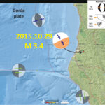
We just had a small earthquake in northern California. Here is the USGS website for the M = 3.4 earthquake. If you felt it, please go to the USGS “Did You Feel It?” website to fill out a report! This…
San Francisco Bay: San Ramon Earthquake Swarm!
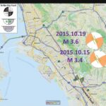
Those of you in the region of the San Francisco Bay are probably wondering what the likelihood that this recent and ongoing swarm of earthquakes in the San Ramon area may lead to a larger earthquake. I do not know,…
10/23/2015 Inaugural Cascadia GeoSciences Present
You’re invited to come network with old friends and colleagues, meet new ones, enjoy a locally-made beverage, maybe learn something and share your local knowledge with others. Cascadia GeoSciences presents: A Research Presentation by Todd B. Williams and Dr. Jason…
Plate Tectonics: 200 Ma
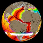
Gibbons and others (2015) have put together a suite of geologic data (e.g. ages of geologic units, fossils), plate motion data (geometry of plates and ocean ridge spreading rates), and plate tectonic data (initiation and cessation of subduction or collision,…
Gulf of California Earthquakes! (first update)
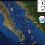
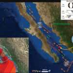
Here is an update to the early morning post… I have prepared an updated map that shows the fracture zones, spreading ridges, transform faults, and basins in the region of seismicity from the past 24 hours. Here is the map.…
Gulf of California Earthquakes! (first post)
We just had a few earthquakes in the Gulf of California (GOC). The results are early, so there is not a moment tensor plotted yet (updated map shows it now). The epicenters plot in the Farallon Baisn. The Gulf of…
Earthquake between the San Andreas and Maacama!
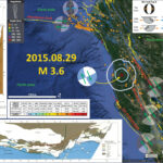
Saturday morning (2015.08.29), residents in Fort Bragg were awakened by a M 3.6 earthquake along a fault that lies between the San Andreas fault (SAF) to the west and the Maacama fault (MF) to the east. Here is the USGS…
Small Earthquake near Point Arena!
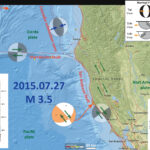
Today we had a small magnitude, M = 3.5, earthquake near Point Arena. Based upon the location and focal mechanism, I interpret this to have been a north-northwest striking right-lateral (dextral) strike-slip earthquake. The fault that ruptured is likely either…
Redding Earthquakes: 1945-2015
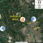
There have not been many earthquakes since 1945 in this region. Below is a map that shows the largest earthquake as a M = 5.4 earthquake from 1998.11.26. Here is the USGS query that I used to create this map.…
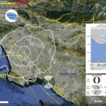
Los Angeles: Newport Inglewood Earthquake!
Last night, we had another earthquake on the Newport Inglewood fault (NIF) system. This fault ruptured in 1933, which led to Long Beach adopting the most strict building codes in the nation. Later, these codes were adopted by the state,…
