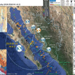
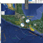
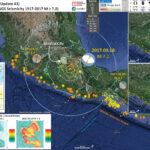
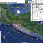
I don’t always have the time to write a proper Earthquake Report. However, I prepare interpretive posters for these events. Because of this, I present Earthquake Report Lite. (but it is more than just water, like the adult beverage that…
The Center, Body, and Range of Technically Defensible Interpretations. The CBD of TDI.