You’re invited to come network with old friends and colleagues, meet new ones, enjoy a locally-made beverage, maybe learn something and share your local knowledge with others. Cascadia GeoSciences presents: A Research Presentation by Todd B. Williams and Dr. Jason…
Cascadia subduction zone: Tectonic Earthquakes of the Pacific Northwest
IRIS and the US Geological Survey have recently produced an educational video about tectonic earthquakes in the region of the US Pacific Northwest. The project was funded by the National Science Foundation. The Video YT link for the embedded video…
Plate Tectonics: 200 Ma
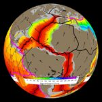
Gibbons and others (2015) have put together a suite of geologic data (e.g. ages of geologic units, fossils), plate motion data (geometry of plates and ocean ridge spreading rates), and plate tectonic data (initiation and cessation of subduction or collision,…
2015.09.16 Chile Update #3
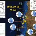
The aftershocks continue and will do so for weeks. Aftershocks from the 2011.03.27 Tohoku-Oki M 9.0 earthquake continue today. The decay rate for seismicity relates to characteristics of the fault called the b-value. The b-value can be determined/modeled in several…
Chile Historic Tsunami Comparisons
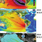
Here are three tsunami wave amplitude models from NOAA for three Great (magnitude > 8.0) earthquakes in Chile. Here are the USGS websites for the three earthquakes that generated these earthquakes, plus the one from 2015.09.16 not shown on the…
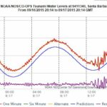
Chile M 8.3 Earthquake: Tsunami Observations!
Here are a couple of videos that document the arrival of tsunami waves in the “mouth of Genio river at Wafer Bay, Cocos Island, Costa Rica. Cocos Island is a National Park located between Galapagos Islands and the continental coast…
2015.09.16 Chile Update #1
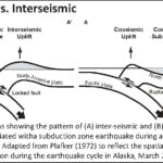
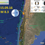
Here are some updates to this earthquake and tsunami. First, here is an updated map. I have included an illustration from Atwater et al. (2005) that shows the earthquake cycle at a subduction zone. A subduction zone is a convergent…
Great Tsunamigenic Earthquake offshore Chile!
Well, I was in the middle of a Quaternary Stratigraphy lab when this hit, so it took a while to get home. My delay pales in comparison to the probably large…
Gulf of California Earthquakes! (first update)
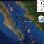
Here is an update to the early morning post… I have prepared an updated map that shows the fracture zones, spreading ridges, transform faults, and basins in the region of seismicity from the past 24 hours. Here is the map.…
Gulf of California Earthquakes! (first post)
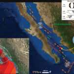
We just had a few earthquakes in the Gulf of California (GOC). The results are early, so there is not a moment tensor plotted yet (updated map shows it now). The epicenters plot in the Farallon Baisn. The Gulf of…
